Laser scanning
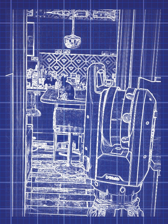
Our Trimble X7 produces a 3D point cloud registered to a local grid or into Ordnance Survey coordinates, using a Total Station. Output files can be imported to Revit and Blender.
We can provide laser scans for:
- Measured building surveys and street scene elevations
- As built surveys
- Heritage properties and sites